Convert DWG to GeoJSON online
Drop the DWG in the converter below, check that the plan lands at the right place on the map, and download a zip with data.geojson in longitude/latitude (WGS 84), plus a Shapefile and a KMZ. Each object keeps its CAD layer, colour, text and block attributes as GeoJSON properties. The conversion is free up to 50 MB, with no account.
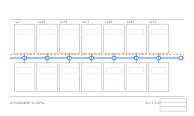


No file at hand? See an example plan read by Max AI
Why convert DWG to GeoJSON here?
- Standard RFC 7946 GeoJSON in longitude/latitude: Leaflet, MapLibre, Mapbox, PostGIS and geopandas read it as is.
- Every CAD layer, colour, text and block attribute becomes a property, so you can filter and style by
layer. - The coordinate system is read from the file, the grid labels or picked by you, and checked on the map before you download.
- Arcs, circles and splines are turned into short segments; closed polylines become polygons.
How it works
- UploadDrop your file, up to 50 MB. Nothing to install, no account.
- See it on the mapEvery layer drawn on a map in a minute or two. Click an object to see its attributes.
- Place & checkCoordinate system from the file, from the coordinate labels, by search or with 2 points. You check it on the map and adjust it by hand.
- DownloadFree. For CAD drawings, Max AI reads the title block, finds the symbols and cleans the plan: $10, only if you like what it shows you.
Free conversion. Max AI: $10 per drawing, only if you like its result — 30-day money-back guarantee.
Technical details
| Input | AutoCAD DWG (R14 to 2018+, from AutoCAD, Covadis, BricsCAD, Civil 3D) or DXF |
|---|---|
| Output | data.geojson (WGS 84 longitude/latitude), plus a Shapefile and a KMZ |
| Max size | 50 MB |
| Coordinate systems | 8,000+ EPSG codes: UTM, State Plane, Lambert, Merchich, OSGB, RGF93… |
Going the other way? Convert GeoJSON to DWG.
More than a conversion: Max AI
Pricing — no subscription
Free conversion. Max AI: $10 per drawing, only if you like its result — 30-day money-back guarantee.
| Conversion | Free | Map preview, layer categories, altitudes linked, placement on the map, and the download: Shapefile + KMZ from CAD, DXF or DWG from GIS, and Shapefile / KML / KMZ / GeoJSON / CSV / GPX between them. Any file up to 50 MB, 5 files and 3 downloads a day |
|---|---|---|
| Max AI export | $10 | Per drawing, CAD → GIS: the title block read (plan_info.txt), symbols found (manholes, valves…) and the plan cleanup, in your zip |
FAQ
How do I convert DWG to GeoJSON?
Drop the DWG above, place it on the map (from the file, the coordinate labels, a search or two known points), then download the zip: data.geojson is inside.
Why do I have to place the drawing first?
GeoJSON is always longitude/latitude. A DWG is drawn in local or projected coordinates, so we need its coordinate system to compute where each point is on Earth.
Which properties does each feature get?
layer, color and a category (road, sewer, water…) for every object, text for texts, block and one property per attribute for blocks.
How much does DWG to GeoJSON cost?
Nothing: the map preview and the download are free, any file up to 50 MB, 3 downloads a day. Only the Max AI export is paid: $10 per drawing.
What happens to my files?
Your files are deleted after 24 hours and never used for AI training. They are only used to make your conversion.
Can I get a refund?
Yes: 30-day money-back guarantee, no questions asked. E-mail us and you get your money back in full.
Are there limits on free conversions?
Free: 5 files and 3 downloads a day per visitor, files up to 50 MB. We ask your e-mail once, before your first download or Max AI run, and send a link to confirm it; this browser then remembers it. Once you start Max AI on a drawing, its $10 export is the download for that drawing.
How do I pay?
The conversion is free. Only the Max AI export is paid: $10 per drawing, by card through Paddle, our reseller. No subscription.